Digital Asset Management and GIS (Geographical Information System)
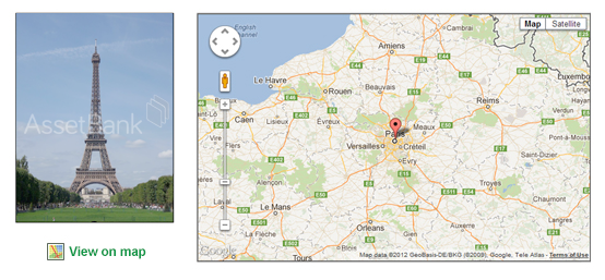
1/ You can find out where an image was taken by clicking 'View on map'
If the GIS module is configured in Asset Bank, you will see a 'View on map' link next to each asset that has location information stored within it. This information is typically extracted from the embedded metadata in the file at point of upload (assuming it was taken with a camera that records GPS information). See Fig. 1. below.
Fig. 1. Using Asset Bank to see where an image was taken

If this information is not within the images you have, then you can edit your assets and add it in using Google maps (you point to a location and Google returns co-ordinates back into the relevant Asset Bank attributes).
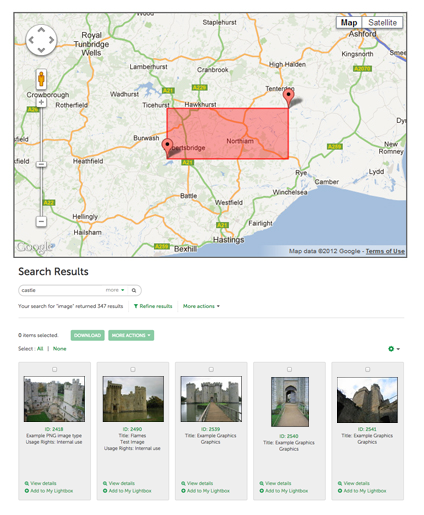
2/ You can search for assets within a geographical area

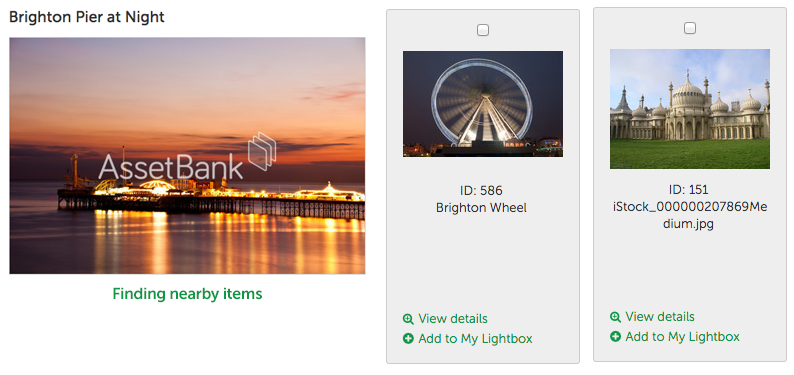
3/ You can 'Find nearby items'
 Summary
If you have assets with GPS information stored within them, then you can now configure Asset Bank to make use of this. It allows you to view an assets location on a map, search over a geographical area to locate assets, or find other items that are physically near to the asset you are currently looking at.
Please contact the support team should you have any questions or need help configuring this option.
We hope this list has been useful. If you have any feedback or questions then please get in touch: feedback@bright-interactive.co.uk.

